
Phoenix, AZ – London Bridge, AZ – Palm Springs, CA – Barstow, CA – Santa Monica, CA
Leaving hot Phoenix & rolling on towards West.
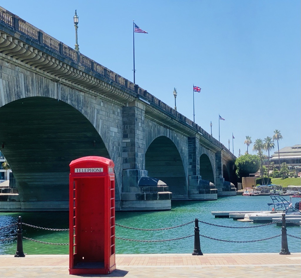
Finding England in the middle of the desert. Last stop in Arizona: the London Bridge at Lake Havasu. And the story goes like this: an American loved the London bridge in London/UK so much that he purchased it in 1968, and transported it to the USA for use. Unbelievable but true.
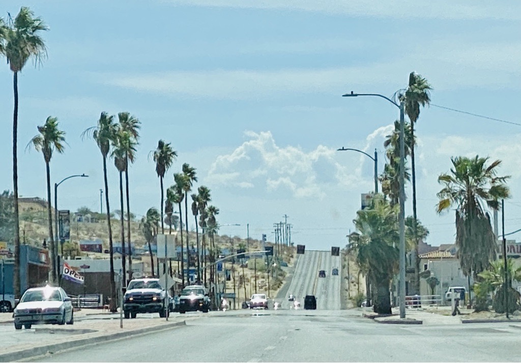
Obligatory border control: no fruits or veggies allowed into California. Check passed. We are in California! Yeah!
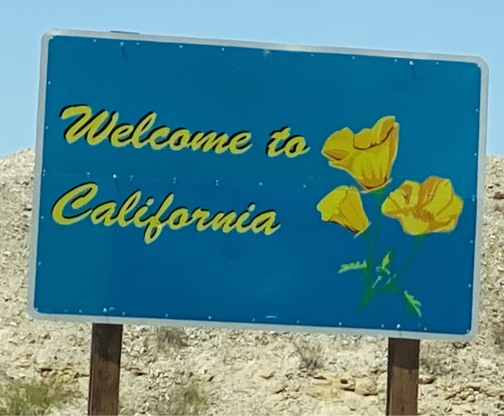
California is different than the other states: a little more liberal, a little less religious, and a little more worried about the environment. California is representing quite a few cultures of the world: every 4th person living here was born outside the USA. And where else could the terminator be the elected governor? California, the focus of the American dream & the target of Route66.
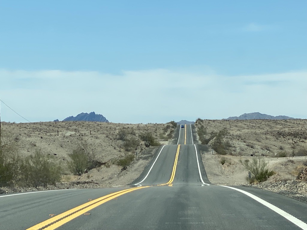
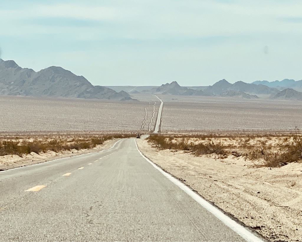
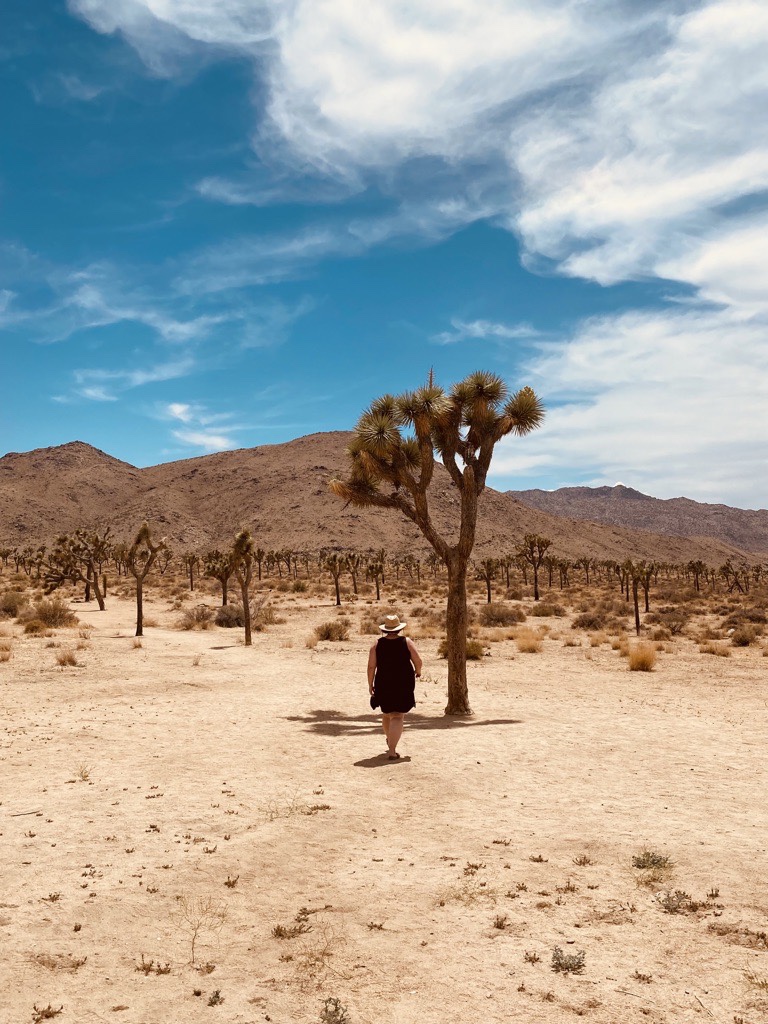
A quarter of California is desert. And that’s how we came in: 350km without gas station or mobile service and hardly any traffic. Just a straight highway through the sandy desert. It’s great to see houses & humans again after some time. We got extreme heat warnings in the day. It „cools“ a little down in the night to 32C degrees. Haha. We enjoyed listening to the natural sounds of the desert landscape. At first a bit scary but also very relaxing, the star gazing is amazing out here.
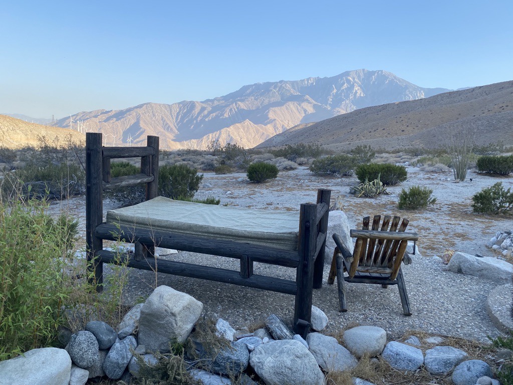
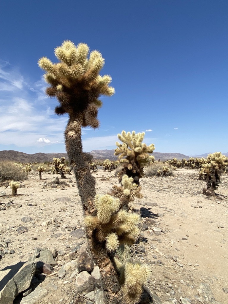
We arrived at a place where it hasn’t rained in 2 years!!! Hummingbirds flying around. Road runners crossing just in front of us. Lizards sunbathing. Coyotes around at night. If snakes come too close, their head is being cut off. Arghhhh. Slightly terrifying. The dessert is wild & alive!
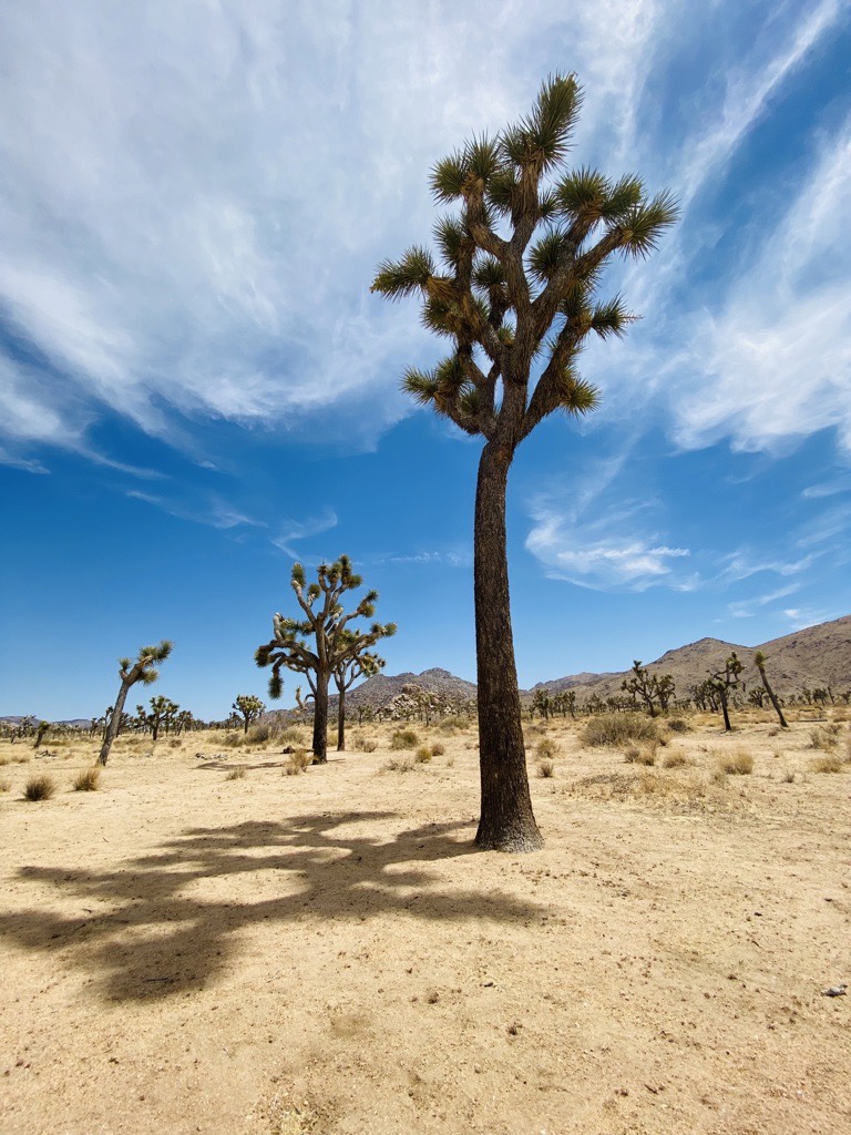
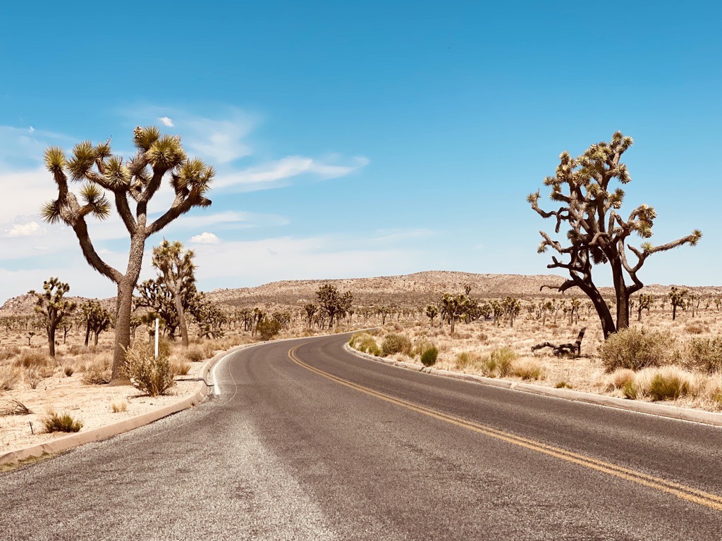
Surrounded by Joshua trees.
It’s still very hot here with 46C degrees… it’s that kind of hot when you still sweat despite A/C running in the car… it’s time to leave the dessert. We are ready for the pacific coast. Yeah!
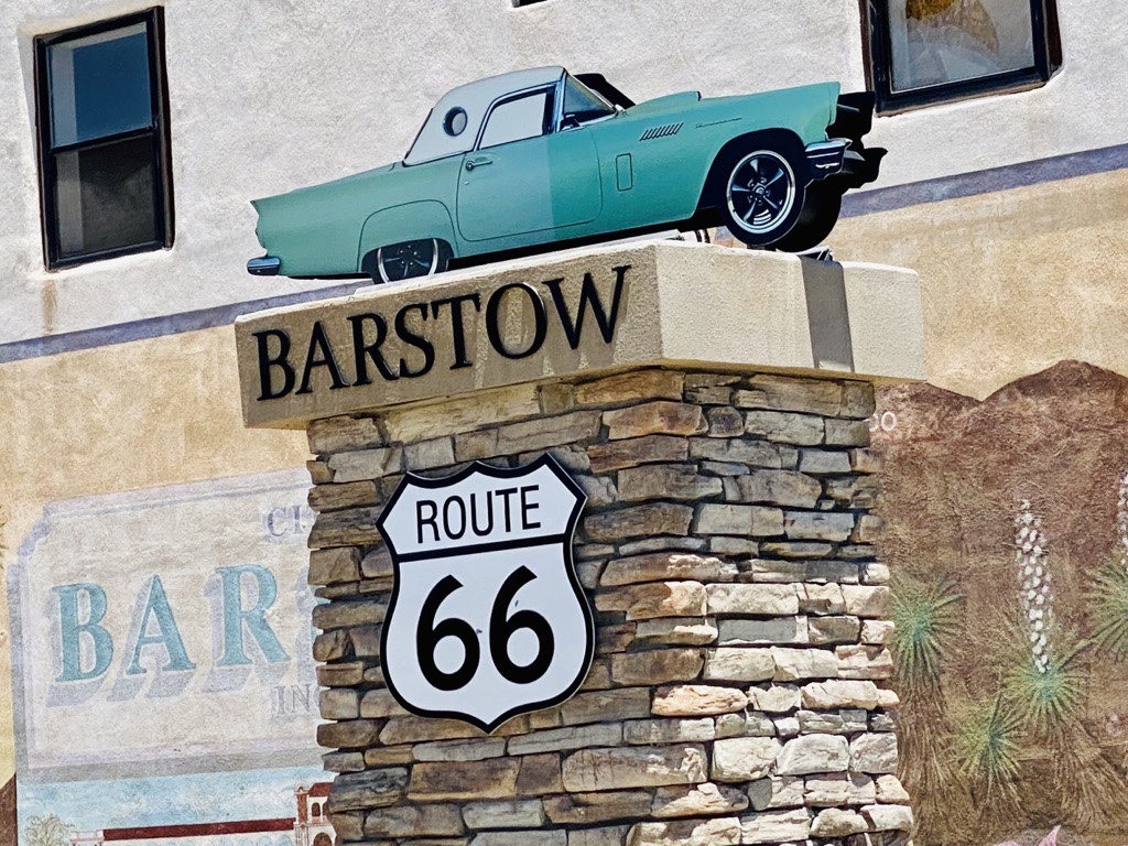
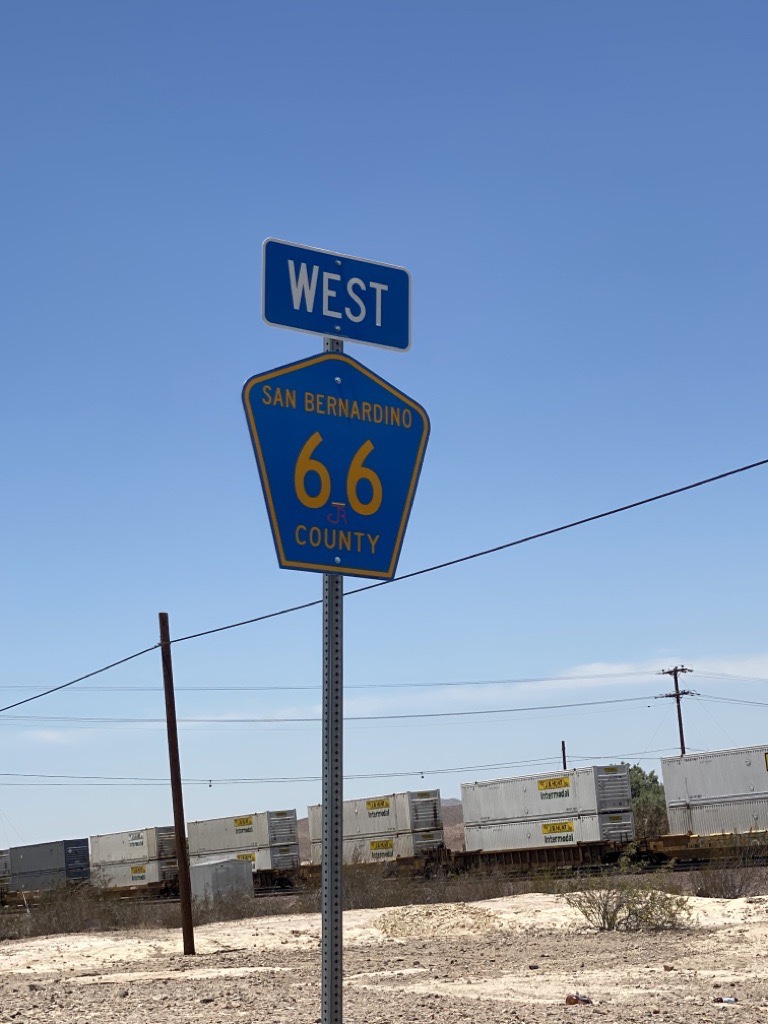
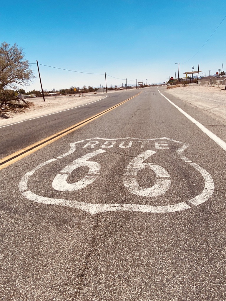
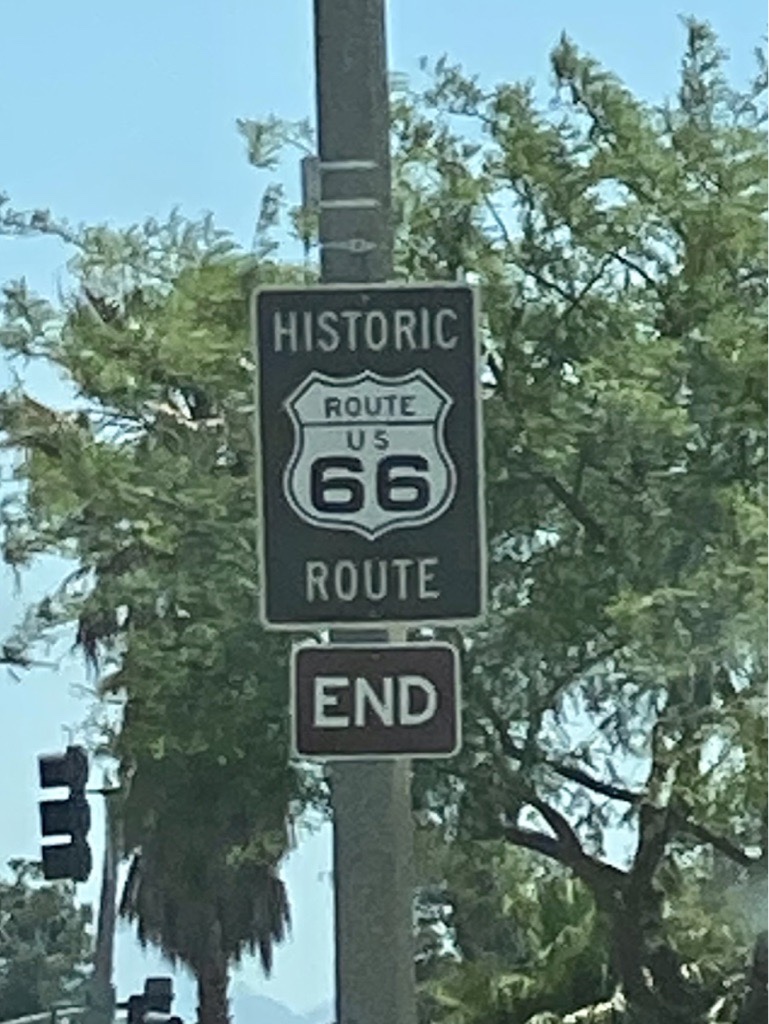
Passing a lot of trucks transporting onions. Coke trucks. A lot of Teslas. Cars with long CB radio antennas. The last kilometers on Route66…
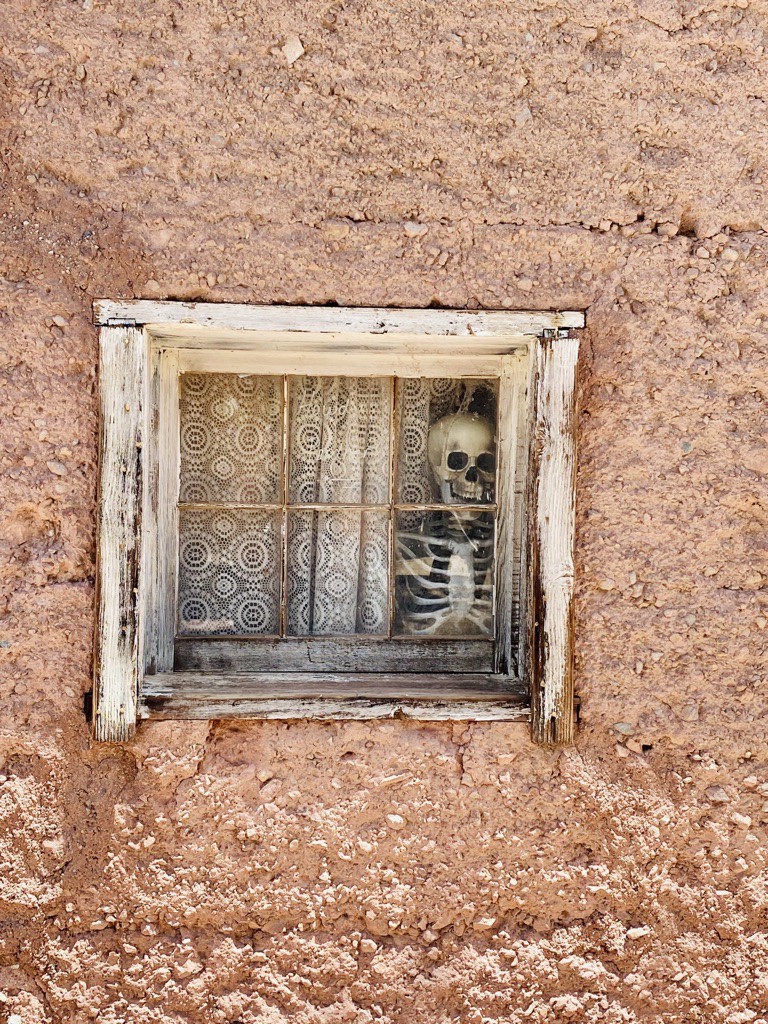
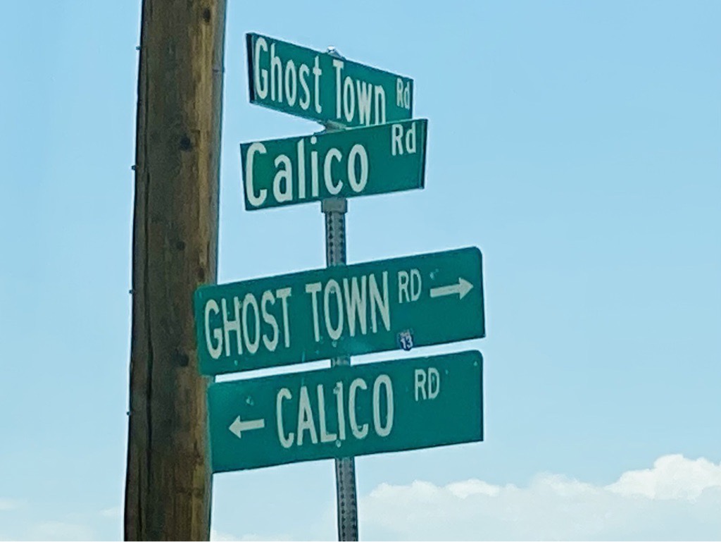
Another town which died after the silver rush was over and turned into a ghost town.
Passing by an airplane graveyard & a biker saloon. Checking the gas needle before starting another adventurous ride on the Angel Crest Highway. 80 miles. Wohoo. We love those winding roads. 7381ft altitude and nice temperatures. Finally, it’s cooling down.
The Hollywood Sign, a landmark of the Santa Monica Mountains in Los Angeles, was made of 14m tall and 110m long letters in 1923!

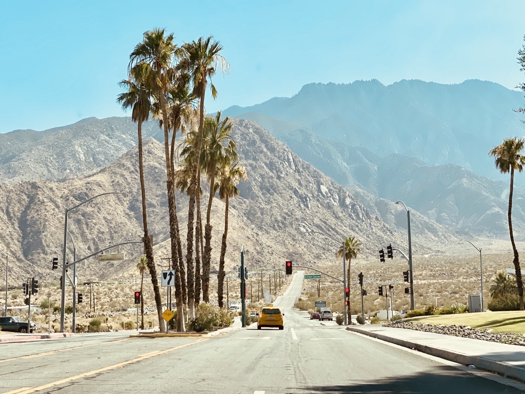
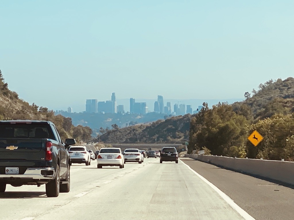
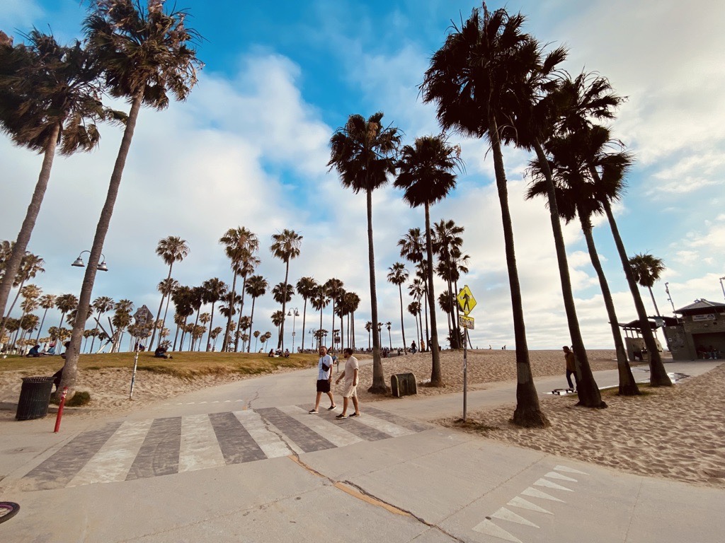
Traffic gets a little crazier. 6 lanes leading us into the second largest city in the USA: Hello Los Angeles!
Wow! Wow! Wow! We made it! We finished >4000km on the mother road and arrived at the end: Santa Monica, California.
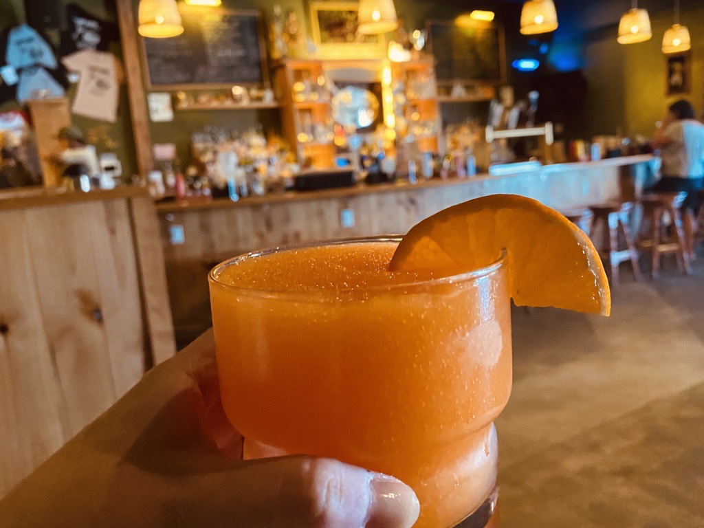
Cheers!
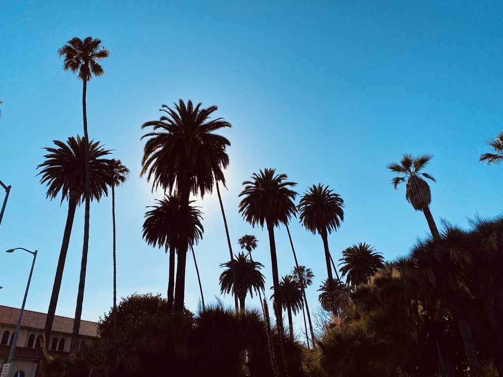
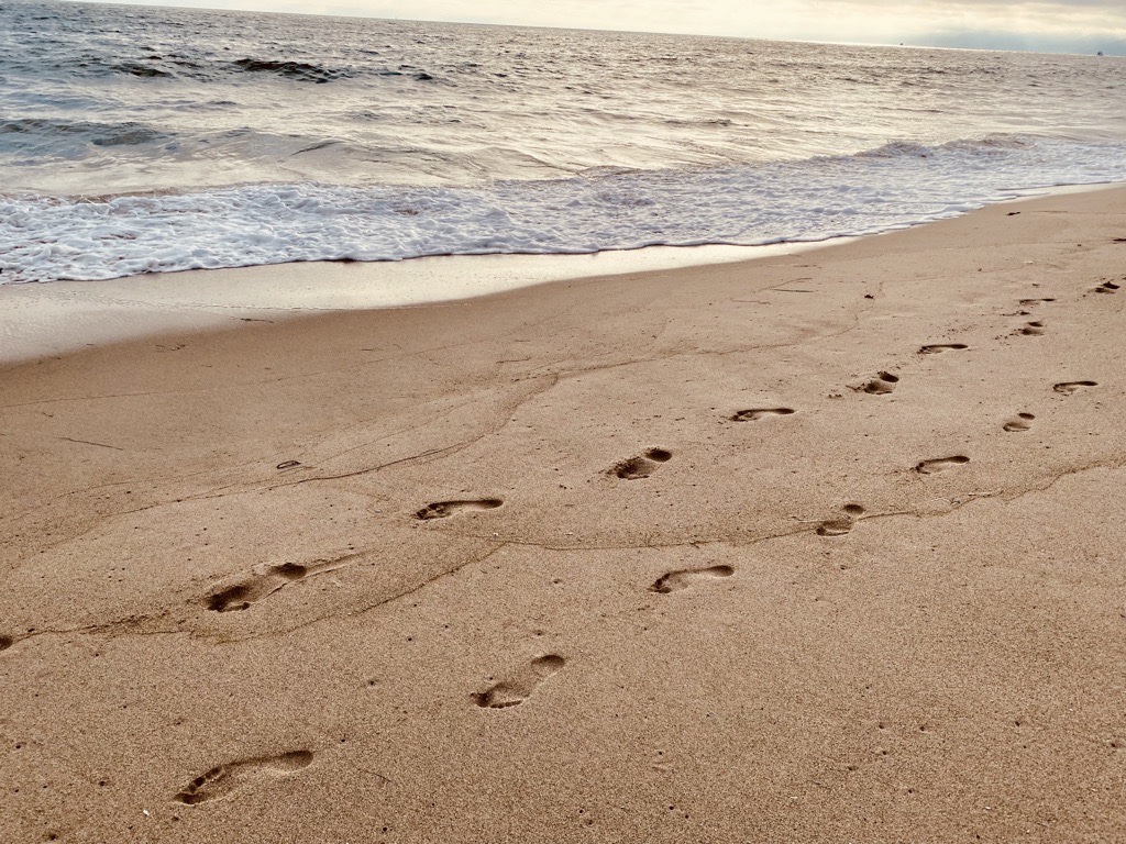
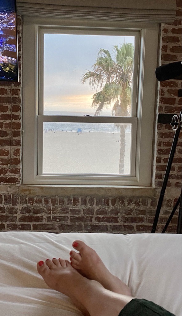
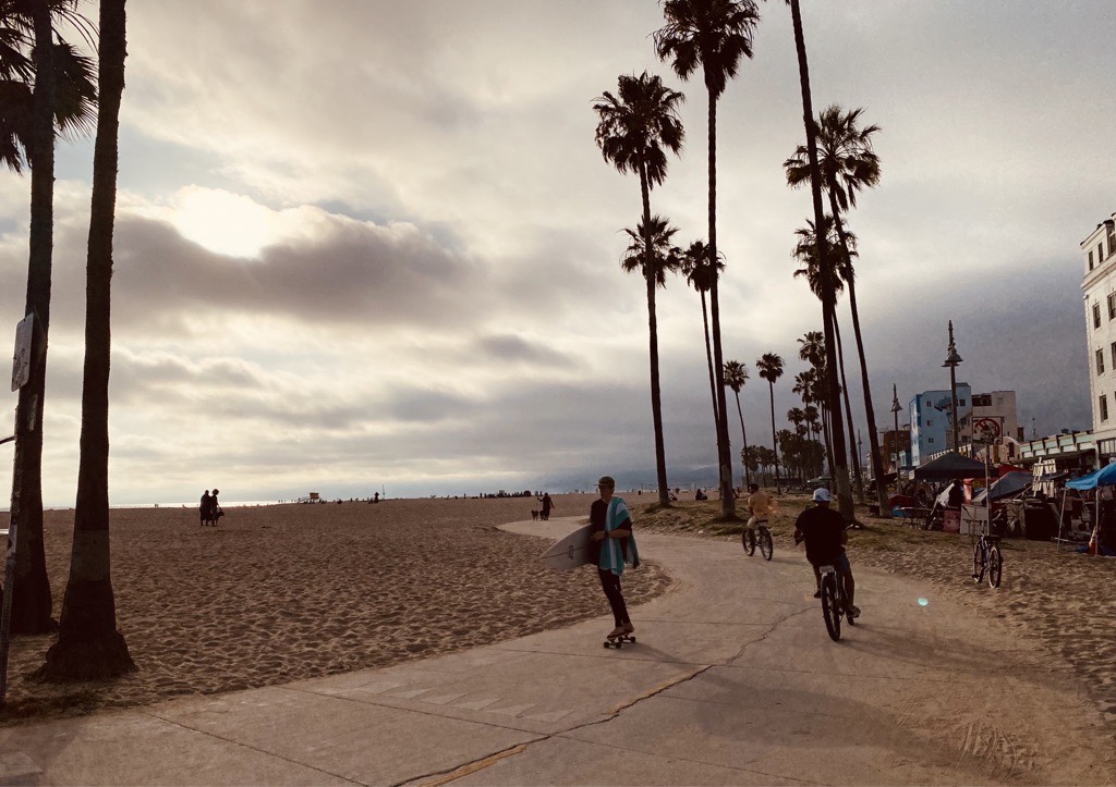
We arrived at the pacific. Temperatures are better now: 26C in the daytime… it almost feels cold. Haha.
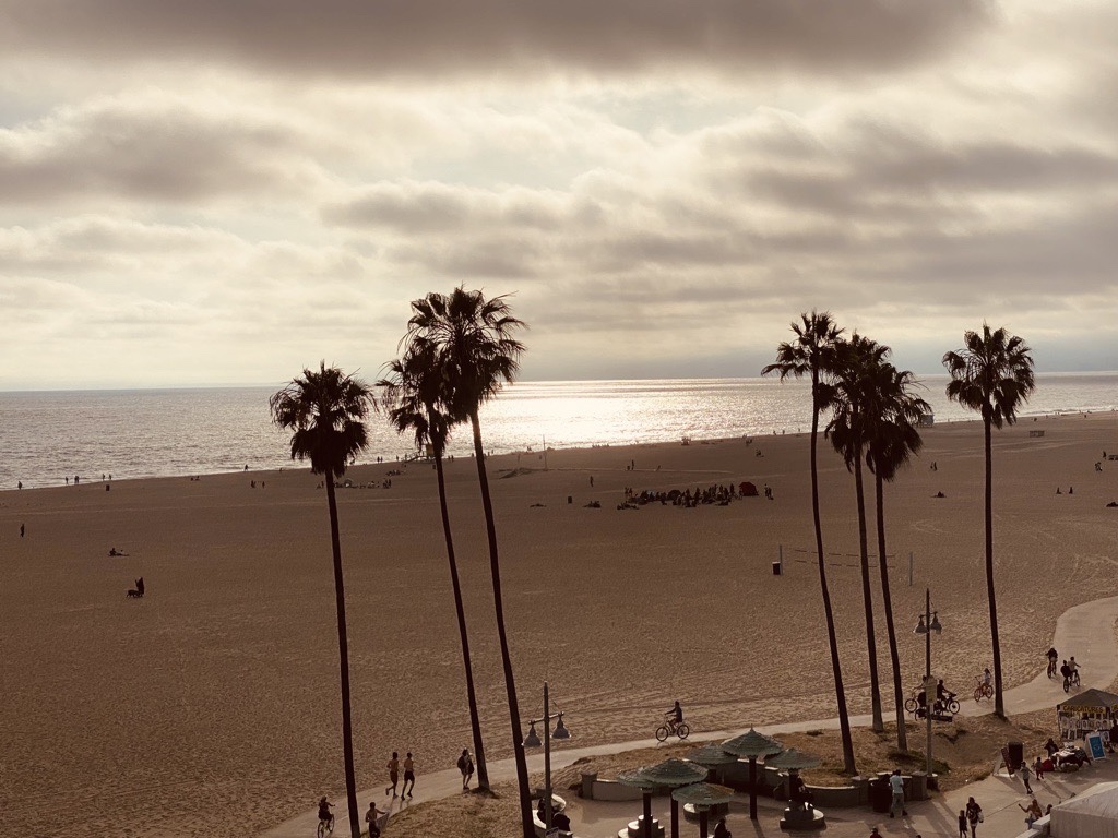
Time to relax for a couple of days at Venice Beach before heading to South Carolina (by airplane. Lol). See ya!

Danke für die wunderschönen Bilder und Eindrücke von eurer Route. Damit habt ihr euch einen Traum erfüllt oder?
LikeLiked by 1 person
Lovely pics and story telling. And that desert heat, oh my. Been there when temps were that high. Thanks for sharing.
LikeLiked by 1 person
Wow, thanks for all the pics and for sharing. Glad you survived the desert 😅🥵 !
LikeLiked by 1 person